JKI press release dated 5 Oct 2016:
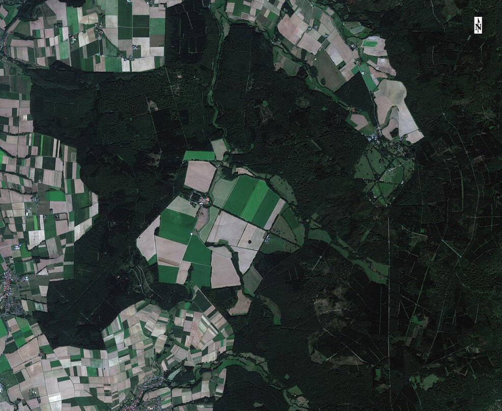
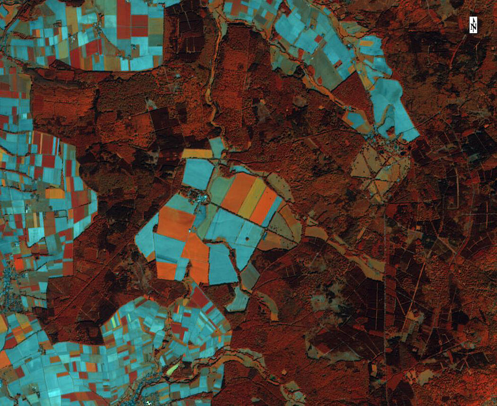
(Brunswick/ Beberbeck) Various observation satellites orbiting the earth provide information about condition and changes of the environment and thus on the cultivated land. In Germany agriculture is by far the largest user of land with approximately 52% of the total area of the country. Until now the latest relevant information on agriculture gained from satellite images was only available to experts because collecting and analyzing the data was costly and complicated. The partners of the joint research project called AGRO-DE are about to change this. The consortium, consisting of the Julius Kühn Institut (JKI) Brunswick, the German Aerospace Center (DLR) and the companies EOMAP and Hanse Agro, has set its goal to process and prepare information from satellite images and distribute them via the internet.
“We will build a data and analysis cluster that allows farmers, agricultural consultants, contractors and service providers to use preprocessed remote sensing information in a timely manner and to integrate them into their operations”, says Dr. Holger Lilienthal from the JKI. He coordinates the project, which has just been launched and received a funding of 1.85 million Euros by the German Federal Ministry for Food and Agriculture.
“The information will be provided in different formats, e.g., as a map or web map service, as image data, or as dynamic modeling results. The kick-off meeting took place on September 26th, 2016 at the Hessian State farm Beberbeck. In the course of the next 3 years Beberbeck-Domain will serve as a demo farm. The new AGRO-DE information products will be tested here regarding their usefulness and handling in agricultural practice.
Background:
Under the umbrella of the European Copernicus program (www.copernicus.eu, www.d-gmes.de) Sentinel-earth-observation-satellites, which have been launched since 2014, are providing operational satellite data in unprecedented quantity, temporal resolution and technical excellence. With the Sentinel-1-satellite and its cloud penetrating radar technology, information on the development of vegetation can be obtained for the area of Germany every 2-3 days. Every 3-4 days, the multispectral Sentinel-2-systems cover Germany to get cloud-free images. Compared to most existing remote sensing missions, raw data are available free of charge.
The high temporal, spatial (10-20 m) and spectral resolutions will enable completely new data mining products. With AGRO-DE all farmers in Germany can benefit for the first time from the latest satellite information, because it provides open access to ready-to-use information products. This will stipulate the application of precision farming technologies. These technologies also appeal to small-scale farms and organic farms. In addition, information products from AGRO-DE can assist research institutions, federal and state agencies and non-governmental organizations (NGOs) in their work, as standardized information products for Germany become available.
Brief info on the project AGRO-DE:
Title: "Development of a cluster to provide current remote sensing products to agriculture (AGRO-DE)"
Coordination:
Dr. Holger Lilienthal, JKI Institute for Crop and Soil Science, Braunschweig
Project consortium:
Julius Kühn Institute (JKI), Braunschweig
German Aerospace Center e. V. (DLR), DFD Oberpfaffenhofen
Eomap GmbH & Co. KG, Seefeld
Hanse Agro - Consulting and Development GmbH, Gettorf
Total funding: EUR 1.85 million
Project duration: 3 years until August 2019
Funding: Federal Agency for Agriculture and Food (BLE), FKZ: 2815704815


